Links
Other Counties

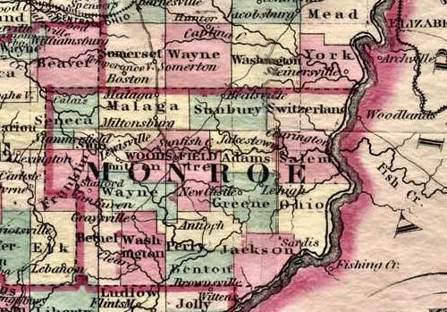
From New Topographical Atlas of Ohio by H.F. Walling and O. W. Gray, published by Stedman, Brown and Lyon, Cincinnati, 1872
Click on the map for a larger view in a new window.
1878 Colton's Railroad and Township Map
of the State of Ohio
Published by: G. W. and C. B. Colton & Co. 172 Williams St. New York.

Century Atlas 1897, Published by: Matthews-Northrup Co., Buffalo, N. Y.
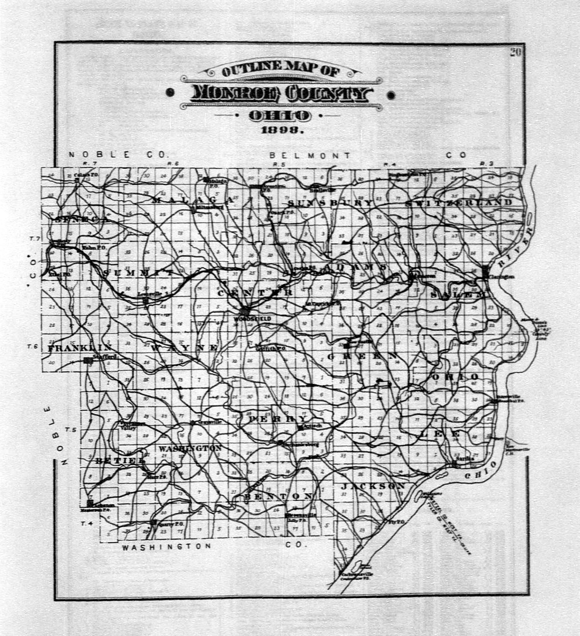
1898 Monroe County Outline Map from: Caldwells Atlas Of Monroe County Ohio, J. A. Caldwell, C. E., Published by: Atlas Publishing Company, Mount Vernon, Ohio. 1898
Click on the map for a larger view in a new window.